hatchcanyon
Member
- Joined
- May 29, 2013
- Messages
- 136
Purple Hills is a remote area within the Glen Canyon NRA. As the name says it is a colorful district.
There is only one known trail, at least to me. From Burr Trail take the Wolverine Loop where its eastern end connects (12S 0490914 4190715) and travel south for approximately 8 miles. There is a sign:
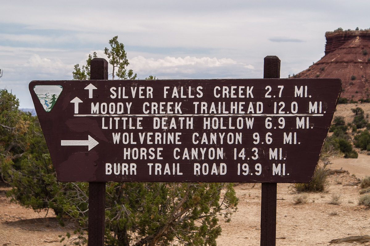
Take the route to Silver Falls Creek and Moody Creek
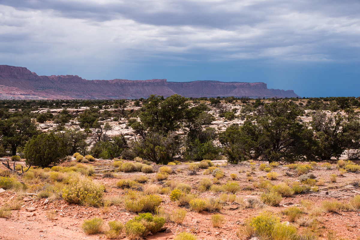
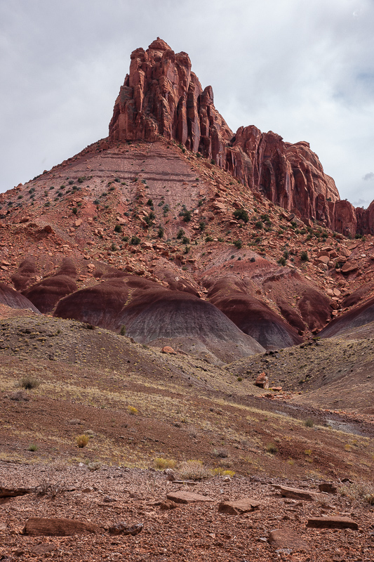
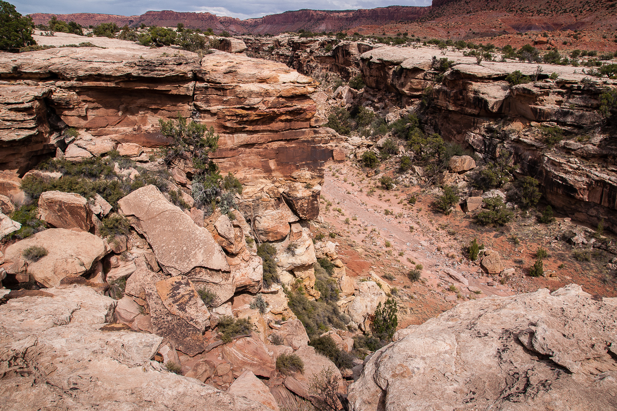
After less than 3 miles the right trail goes down Silver Falls Canyon and we travel straight ahead. The trail leaves the then relatively shallow creek canyon at 12S 0493164 4165848. To the west you can see the Circle Cliffs but the trail turns to the east onto Fourmile Bench.
Circle Cliffs from Fourmile Bench
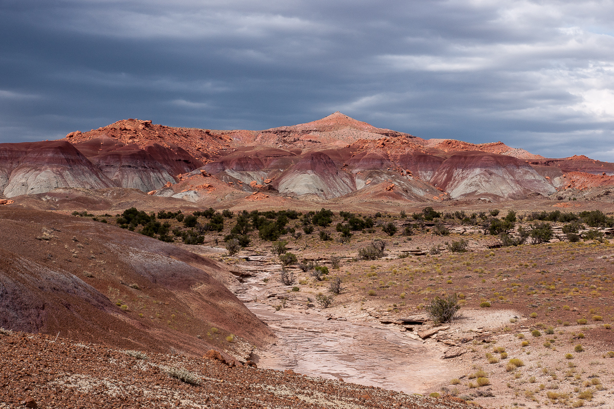
Thunderstorms over the Circle Cliffs north of Fourmile Bench
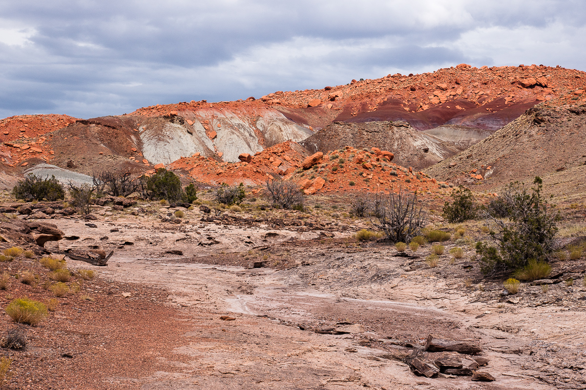
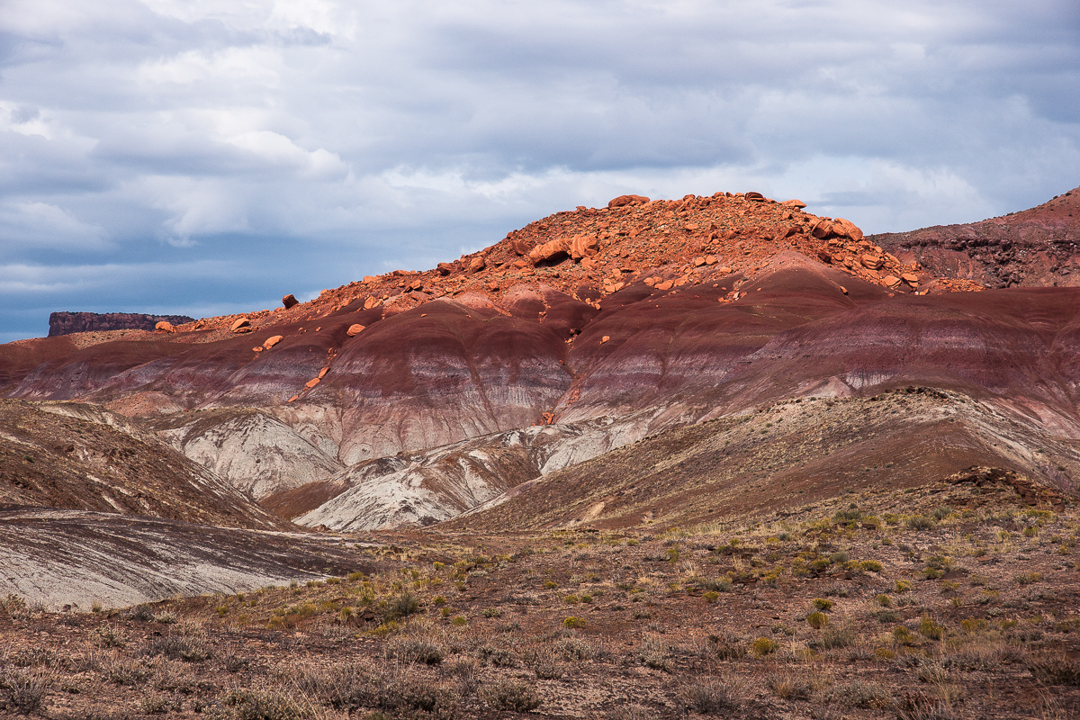
Purple? Orange is predominant
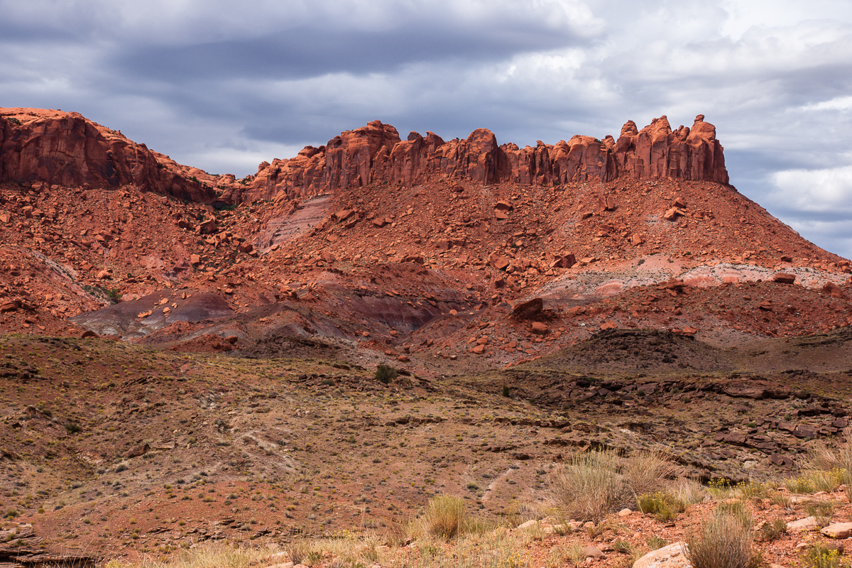
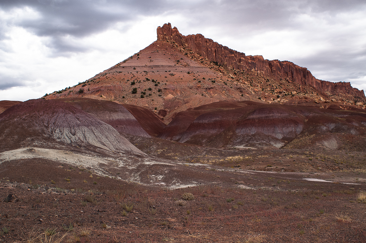
This cliff marks a fork (12S 0497471 4166835)
Driving right and south over a shallow pass leads to the "purple" Purple Hills.
Purple Hills
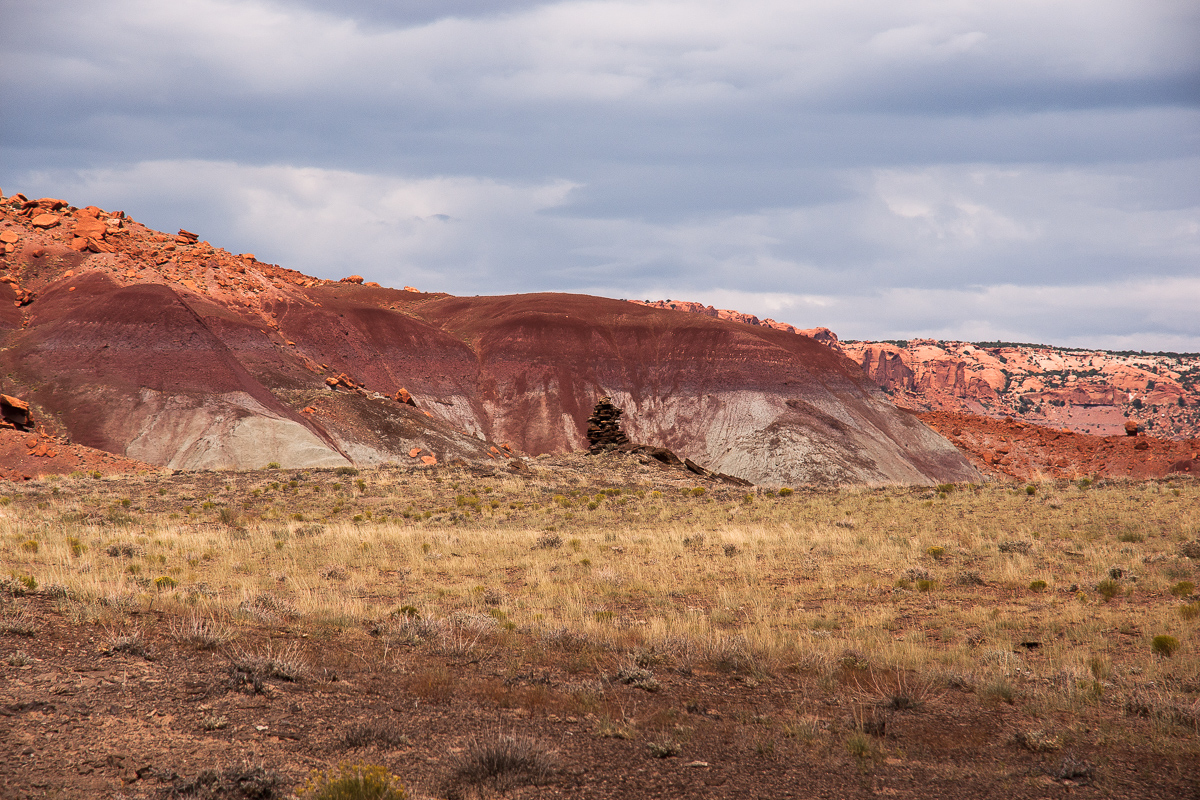
Colorful and a claim cairn
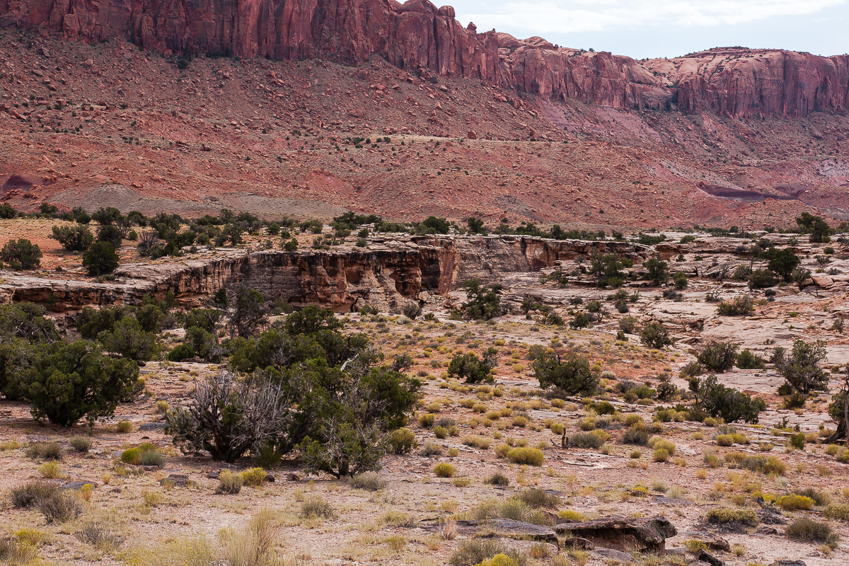
After 2 miles the trail ends near Middle Moody Creek. A mine might have been on the other side.
Mining below the Cliffs?
Middle Moody Creek Canyon
My Lady takes another kind of pictures
Purple Hills
After a while we return to the fork and try the othe trail to the east. The spur ends not far away from the at the foot of Deer Point.
Deer Point
Featured image for home page:

There is only one known trail, at least to me. From Burr Trail take the Wolverine Loop where its eastern end connects (12S 0490914 4190715) and travel south for approximately 8 miles. There is a sign:
Take the route to Silver Falls Creek and Moody Creek
After less than 3 miles the right trail goes down Silver Falls Canyon and we travel straight ahead. The trail leaves the then relatively shallow creek canyon at 12S 0493164 4165848. To the west you can see the Circle Cliffs but the trail turns to the east onto Fourmile Bench.
Circle Cliffs from Fourmile Bench
Thunderstorms over the Circle Cliffs north of Fourmile Bench
Purple? Orange is predominant
This cliff marks a fork (12S 0497471 4166835)
Driving right and south over a shallow pass leads to the "purple" Purple Hills.
Purple Hills
Colorful and a claim cairn
After 2 miles the trail ends near Middle Moody Creek. A mine might have been on the other side.
Mining below the Cliffs?
Middle Moody Creek Canyon
My Lady takes another kind of pictures
Purple Hills
After a while we return to the fork and try the othe trail to the east. The spur ends not far away from the at the foot of Deer Point.
Deer Point
Featured image for home page: