Bear Lakes > Royce Lakes overnighter (High Sierra)

fossana

Member
Joined
Jan 11, 2018
Messages
909
80563

Intro
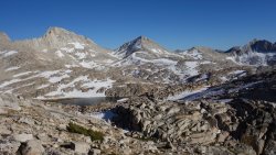
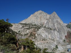
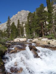
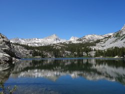
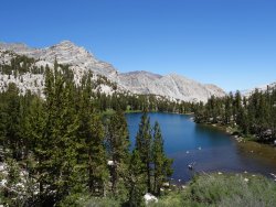
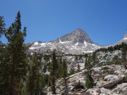
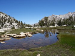
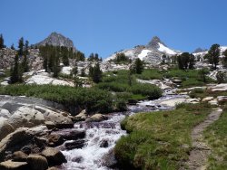
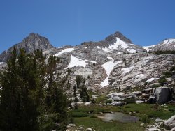
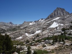
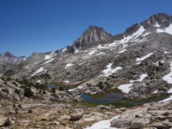
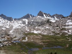
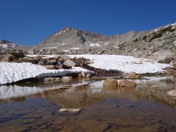
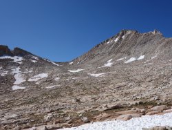
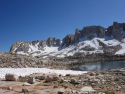
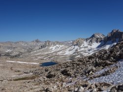
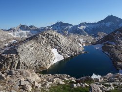
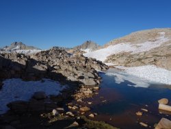
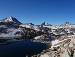
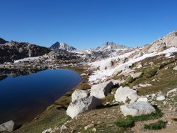
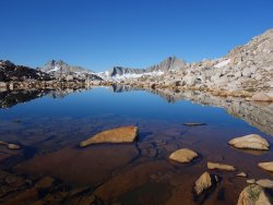
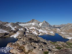
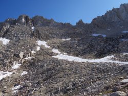
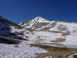
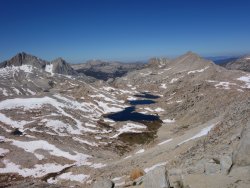
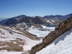
The fabled Bear Lakes Basin has been on my to do list for several years. There's no easy way in between the mileage, elevation gain, and 12-13,000 foot passes. I decided to suck it up and do it as an overnighter. My original plan was to loop back over Feather Pass through French Canyon and back over Pine Creek Pass, but with the late snow melt and associated mosquitoes, staying above treeline as much as possible seemed more appealing. Instead I found a alternate pass into Royce Lakes, then dropped down a glacial slabbed drainage to Honeymoon Lake (the normal approach for the N Buttress of Merriam Peak). Unfortunately, my fur niece, Pika, had torn ACLs and could not join me.

Logistics
Start/end: Pine Creek trailhead (alt routes from Mosquito Flat TH and over Cox Col near Bear Creek Spire, or from Piute Pass TH via French Canyon)
Mileage: ~21 miles
Elevation gain: 6200'+
Navigation: topo map at a minimum, includes x-country travel
Filterable water: many creeks and lakes
Backcountry permits (overnight trips): White Mt Ranger Station in Bishop (reservable online)
Dogs: allowed
Nearest town/gas: Bishop, CA


Approximate Route
dotted line = off-trail
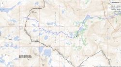
80564

Photos
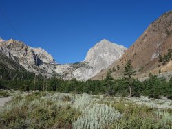
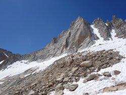
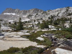
Trailhead to Honeymoon Lake
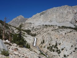
DSC02457.jpg DSC02461.jpg DSC02466.jpg

DSC02469.jpg DSC02479.jpg DSC02481.jpg

DSC02501.jpg

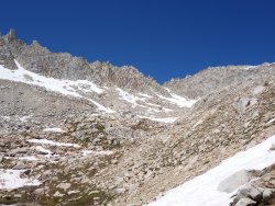
to Granite Park/Italy Pass
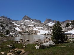
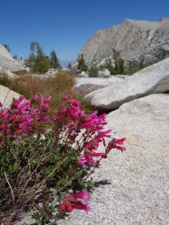
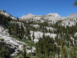
DSC02506.jpg DSC02525.jpg DSC02526.jpg

DSC02531.jpg DSC02539.jpg DSC02542.jpg

DSC02552.jpg DSC02553.jpg DSC02562.jpg

DSC02566.jpg DSC02569.jpg DSC02584.jpg

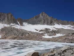
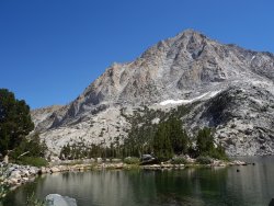
Italy Pass and Bear Lakes Basin
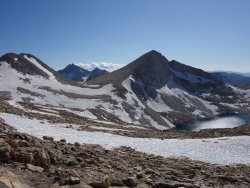
DSC02592.jpg DSC02615.jpg DSC02637.jpg

DSC02640.jpg DSC02645.jpg DSC02649.jpg

DSC02660.jpg DSC02726.jpg DSC02729.jpg

DSC02769.jpg

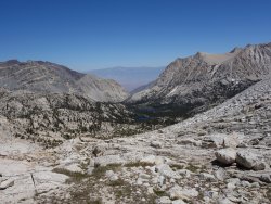
Royce Lakes to trailhead
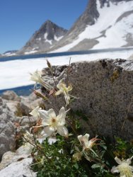
DSC02771.jpg DSC02805.jpg DSC02812.jpg

DSC02840.jpg DSC02849.jpg DSC02859.jpg

DSC02870.jpg DSC02879.jpg DSC02881.jpg

DSC02891.jpg
 

Attachments

  • DSC02758.jpg
    DSC02758.jpg
    151.1 KB · Views: 102
Last edited:
Wow- stunning area, beautiful photos. Stellar reflections in some of the photos. Did this TR loose the map with the approximate route?
It's impressive that you can hike at those altitudes, did you feel well acclimated?
Enjoy the Pyrenees (traveled through there many times as a kid).
 
Wow, thanks! Great timing. I’m heading to that area in a couple weeks. These pictures are getting me psyched!
 
@Titans I'm finally feeling acclimated, so that helped. Not sure what's you're asking about the map. I'm excited to check out the Pyrenees. I usually visit one of the Alps, so hoping I'll be more likely to get decent weather.

@McKee80 I have more specifics on passes, route alternatives, and conditions. Let me know if you have any questions.
 
@Titans I'm finally feeling acclimated, so that helped. Not sure what's you're asking about the map. I'm excited to check out the Pyrenees. I usually visit one of the Alps, so hoping I'll be more likely to get decent weather.

Excellent- awesome you feel acclimated!
I now see the map clearly on the iPad, earlier on the computer I just saw a a little box with a question mark, it didn’t load. All good now, thanks.
 
Wow, not sure how I missed this one initially. Fantastic looking trip. Amazing scenery, all just in an overnighter!
 
Awesome pics!

I've done three trips thru the Bear Lakes region and agree: Def my favorite area outside of the Parks, but even including those it's up there.

The scenery is fantastic, the going relatively mild and the plethora of hike- able passes makes route planning super fun.
 
Very cool. Been looking for something to do in this area and this looks great. Thanks for sharing.
 
I missed this initially, but it popped up under @McKee80's recent trip report. Between the two reports, it looks like I have another High Sierra spot to check out.
 
Back
Top