- Joined
- Aug 21, 2018
- Messages
- 577
Independence Day provided an opportunity to venture out and get more outdoors time in.
Mrs. TractorDoc and I headed to Mohican State Park in Richland County Ohio, about 30 minutes South of home. I have been here before but do not remember a lot of detail from past visits.
I tried looking for information about the area before leaving; from the little I could find online I thought the Lyons Falls Trail would be a good start.
We navigated our way to the trailhead and found this map posted there.
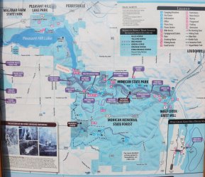
Looks like we parked at the right place.
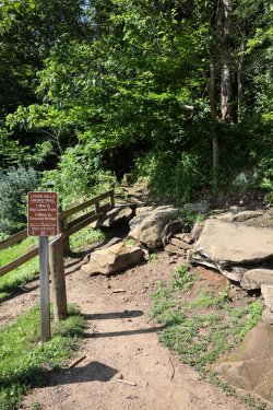
The day was hot and humid, so the cool and shady vibe offered by the towering hemlocks was welcome.
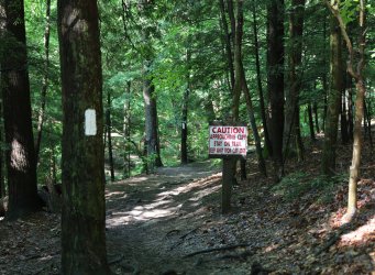
Warnings as we approached the first waterfall.
Little Lyons Falls. It was about half a mile in, but this little waterfall felt peaceful and (for the time being) isolated. It was one of my favorite experiences of the day.
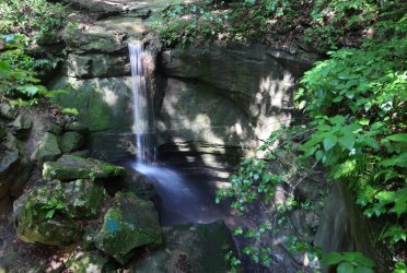
Another half mile walk thru the hemlocks brought Big Lyons Falls into view. A sharp eye may notice someone's lost sandal. . . I suppose it provides some scale.
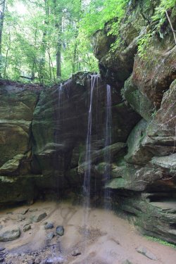
Big Lyons Falls was interesting in that you could walk behind the falling water. It would have been a nice place to hang out, but several other people had the same idea and they brought some boisterous children with them, so we moved on. I was glad the kids were having a good time -- I'd rather they be here enjoying the outdoors (vs. playing video games) even if they were a bit much for me.
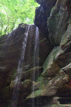
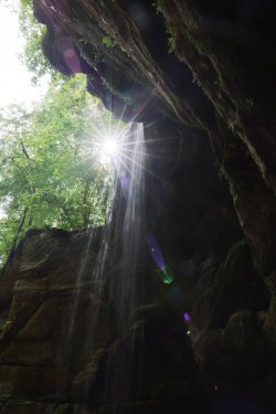
A couple more waterfall pictures.
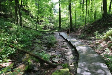
Mrs. TD leading us away from the falls.
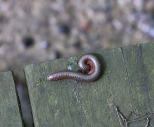
Napping(?) on the boardwalk. I do not know which end is the head, but I would not want to sniff my feet when I am sleeping.
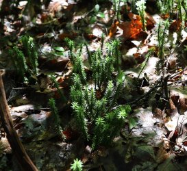
Some interesting ground cover on the forest floor.
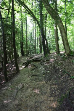
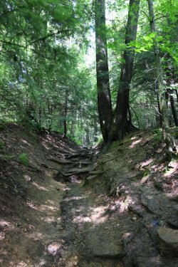
View of the trail.
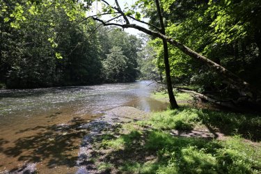
At the bottom of the gorge is the Clearfork of the Mohican River.
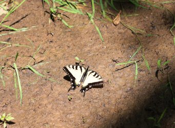
More wildlife.
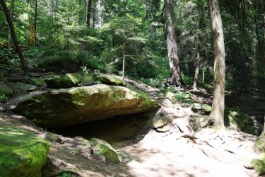
No Grizzlies in this cave.
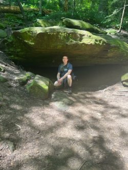
I checked thoroughly.
The trail eventually led us to the dam at Pleasant Hill Lake. The trailhead we left from is at the top.
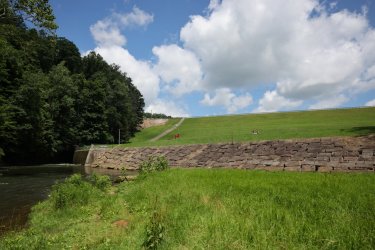
This was definitely leg day.
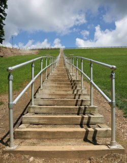
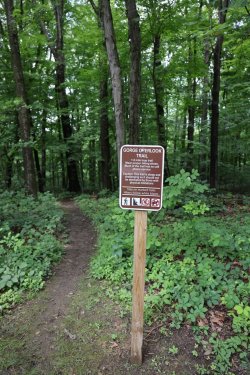
The loop trail to the waterfalls totaled about three miles. We wanted to get more distance in so we headed to the Gorge Overlook Trail. It is a relatively recent addition to the park and did not appear on some of the maps.
Looks promising. I like a challenge.
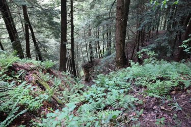
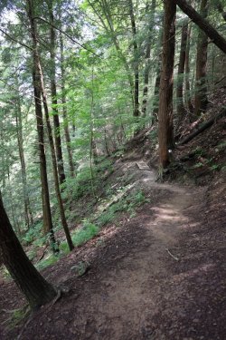
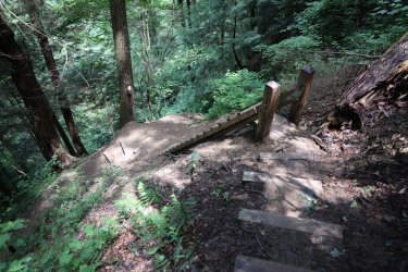
The upper portion of the trail follows cliff edges. I do not like heights, so I kept my distance. It looks much steeper in person.
Eventually you bottom out and find yourself at the Clearfork of the Mohican River (again). Trail crews have installed a nice suspension bridge to allow dry foot access to the other side of the river.
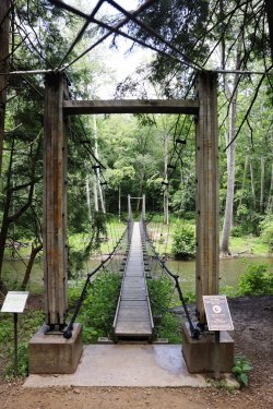
We tested the bridge out -- it had more sway and bounce than I was expecting. We will have to make a return trip to explore more of what the other side of the river has to offer.
Mrs. TractorDoc worked on her balance skills. She snuck in a picture of me with her phone.
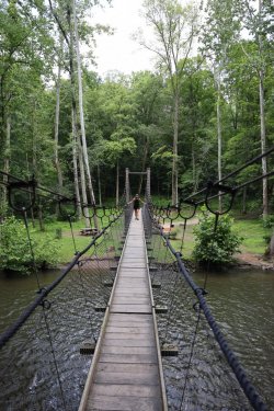
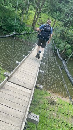
The return trip followed a number of switchbacks up the hill. I believe it was only 300 feet of elevation change, but it felt like more with the heat, humidity, and weighted pack.
Many impressive trees lined the trail, including this massive oak. (I think).
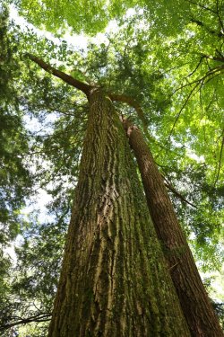
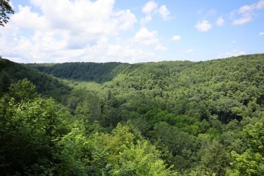
The view from the gorge overlook once we were back on top.
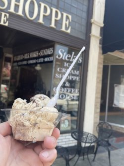
This trip also included ice cream! Stela's in Jeromesville served up this fine bowl of Cappuccino Crunch.
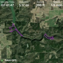
GAIA GPS overview. Not the biggest mile day, but definitely a good terrain/leg workout.
The End.
Mrs. TractorDoc and I headed to Mohican State Park in Richland County Ohio, about 30 minutes South of home. I have been here before but do not remember a lot of detail from past visits.
I tried looking for information about the area before leaving; from the little I could find online I thought the Lyons Falls Trail would be a good start.
We navigated our way to the trailhead and found this map posted there.

Looks like we parked at the right place.

The day was hot and humid, so the cool and shady vibe offered by the towering hemlocks was welcome.

Warnings as we approached the first waterfall.

Little Lyons Falls. It was about half a mile in, but this little waterfall felt peaceful and (for the time being) isolated. It was one of my favorite experiences of the day.

Another half mile walk thru the hemlocks brought Big Lyons Falls into view. A sharp eye may notice someone's lost sandal. . . I suppose it provides some scale.

Big Lyons Falls was interesting in that you could walk behind the falling water. It would have been a nice place to hang out, but several other people had the same idea and they brought some boisterous children with them, so we moved on. I was glad the kids were having a good time -- I'd rather they be here enjoying the outdoors (vs. playing video games) even if they were a bit much for me.
A couple more waterfall pictures.


Mrs. TD leading us away from the falls.

Napping(?) on the boardwalk. I do not know which end is the head, but I would not want to sniff my feet when I am sleeping.

Some interesting ground cover on the forest floor.

View of the trail.

At the bottom of the gorge is the Clearfork of the Mohican River.

More wildlife.

No Grizzlies in this cave.

I checked thoroughly.

The trail eventually led us to the dam at Pleasant Hill Lake. The trailhead we left from is at the top.

This was definitely leg day.

The loop trail to the waterfalls totaled about three miles. We wanted to get more distance in so we headed to the Gorge Overlook Trail. It is a relatively recent addition to the park and did not appear on some of the maps.
Looks promising. I like a challenge.

The upper portion of the trail follows cliff edges. I do not like heights, so I kept my distance. It looks much steeper in person.


Eventually you bottom out and find yourself at the Clearfork of the Mohican River (again). Trail crews have installed a nice suspension bridge to allow dry foot access to the other side of the river.

We tested the bridge out -- it had more sway and bounce than I was expecting. We will have to make a return trip to explore more of what the other side of the river has to offer.
Mrs. TractorDoc worked on her balance skills. She snuck in a picture of me with her phone.


The return trip followed a number of switchbacks up the hill. I believe it was only 300 feet of elevation change, but it felt like more with the heat, humidity, and weighted pack.
Many impressive trees lined the trail, including this massive oak. (I think).

The view from the gorge overlook once we were back on top.

This trip also included ice cream! Stela's in Jeromesville served up this fine bowl of Cappuccino Crunch.

GAIA GPS overview. Not the biggest mile day, but definitely a good terrain/leg workout.

The End.
