Navigation
Install the app
How to install the app on iOS
Follow along with the video below to see how to install our site as a web app on your home screen.
Note: This feature may not be available in some browsers.
More options
You are using an out of date browser. It may not display this or other websites correctly.
You should upgrade or use an alternative browser.
You should upgrade or use an alternative browser.
Shoshone Lake to the South Entrance, Yellowstone
- Thread starter Bob
- Start date
-
- Tags
- wyoming yellowstone
Joey
walking somewhere
- Joined
- Apr 1, 2014
- Messages
- 878
Lets give this a try:
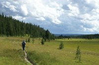
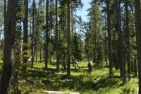
Picture 1: Your walking down to Shoshone Lake along the Delacy Creek Trail, in the Delacy meadows.
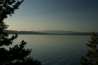
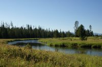
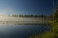
Picture 2: Looking across Shoshone Lake as your round the northern shore.
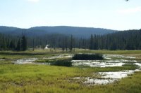
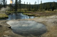
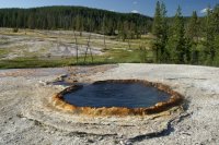
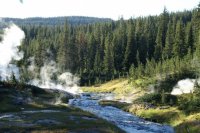
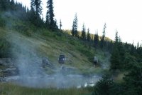
Picture 3,4,5: Shoshone Geyser Basin.
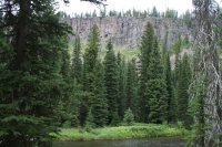
Picture 6: Not 100% sure, but I'm guessing along the Bechler River trail, between Greggs Fork and Three Rivers Junction. As you drop down along the ridge.
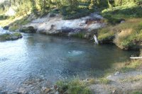
Picture 7: Ferris Fork near Mr Bubbles?
Picture 8: Looks a lot like Mr Bubbles, but if it is, its definitely changed quite a bit since your picture.
Picture 9: Along the Bechler river trail, between the three rivers junction campsite and the patrol cabin.
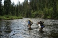
Picture 10: 2nd crossing of the Bechler River
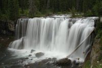
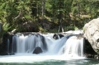
Picture 11: Iris Falls
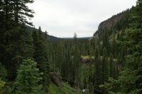
Picture 12 and 13: Above the Bechler River in the Bechler Canyon
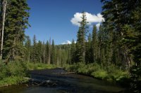
Picture 14: Bechler River, looking south east, near the third Bechler River crossing.
Picture 15: Mountain Ash Creek
Picture 16: The Scout Pool
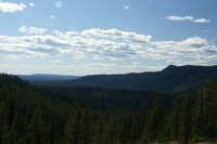
Picture 17: The view looking west as you climb the ridge up the Mountain Ash Trail, and heading towards the Falls River and South Boundary.
Picture 18: South Boundary Trail
Picture 19: South Boundary Lake
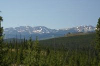
Picture 20: Looking south towards the Tetons, as you climb out of the Polecat Creek drainage, and head to the South Entrance.
How did I do?
Absarokanaut
Member
- Joined
- Sep 17, 2014
- Messages
- 700
Mr. Bubbles is awesome. I'll never forget the crust flopping up and down under my tevas, like a jacuzzi from the floor.
In 1975 I canoed and camped on Shoshone for two nights, was awesome, 11 year old self loved cliff diving on the channel that's now banned. Bad skeeters there in 2006 and haven't been beyond the channel since.
I've read that Shoshone is the largest Backcountry [no road access] lake in the 48. Pretty darn cool. Thanks for sharing man.
Bob
Trailmaster
- Joined
- Mar 3, 2013
- Messages
- 4,306
Nope, but I was thru there a long time before you guys...You didn't happen to find my water bottle back in there did you?

