cmgz
Member
- Joined
- Jul 16, 2014
- Messages
- 100
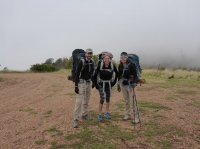
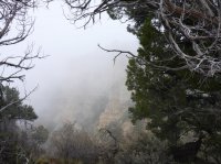
Last week three of us did a lollipop loop of about 27 miles. Starting from the Bill Hall Trail at Monument Point, North rim. The week had been rainy and we still weren't convinced of clearing. The original plan was to car camp on the trail head road the night before but it was rainy and cold. We're only a few hours away in St. George so we got an early start on our drive instead. Since temperatures were moderate, we thought it was a reasonable option. Starting the trail we looked down to a canyon filled with clouds. Our trail head start.
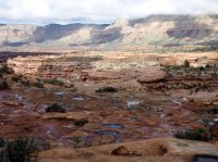
Down to the Esplanade where we could drop off our caches of water for the last night's camping. Funny thing it was full of water in the potholes but who knows if it would last that long.
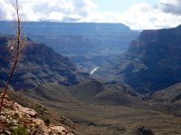
Our first glimpse of the Colorado
Then the winding up and down of Surprise Valley
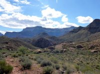
Almost to Thunder River
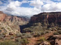
Thunder River coming right out of the canyon walls. Impressive! And the weather, after just a couple drops of drizzle, clearing up!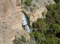
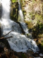
We camped at Upper Tapeats, under the gaze of Owl's Eyes
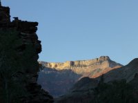
Next day, heading down to the Colorado with two cold but manageable creek crossings.
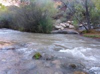
The canyon drops away as the trail winds around it's walls.
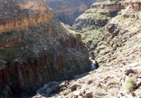

Coming to the confluence of Tapeats Creek and the Colorado which was full of sediment from the recent rains.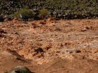
After hiking along the Colorado a ways, a section of downclimb which a handline was very nice for.
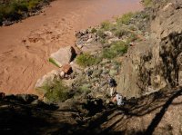
Then up again to get to our Deer Creek campsite.
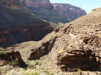
After dropping our packs at the campsite, we headed through the Deer Creek Narrows to the waterfall by the Colorado.
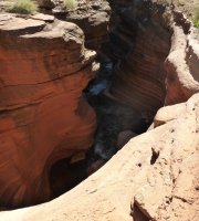
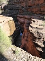
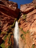
Next day, time to start working on that 5000 feet back up to the trailhead. Leaving Deer Creek.
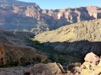
Passing Deer Creek Spring
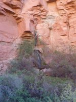
We'd climb 3000 feet this day, 2000 the next.
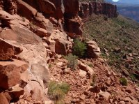
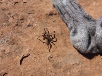
Back on the Esplanade with plenty of rest time, I took off my shoes and socks for some stretches. This guy comes along and walks up to my socks, gets defensive, then acts paralyzed for a bit. Hey, I get the hint!
Moon reflections in one of the few potholes that still has water.

Sunset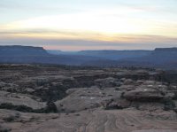
Our last climb
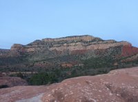
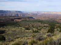
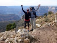
Jeremy and Tiffanie celebrating the top!
Featured image for home page:
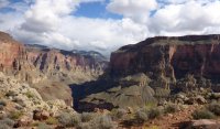


Down to the Esplanade where we could drop off our caches of water for the last night's camping. Funny thing it was full of water in the potholes but who knows if it would last that long.

Our first glimpse of the Colorado

Then the winding up and down of Surprise Valley

Almost to Thunder River

Thunder River coming right out of the canyon walls. Impressive! And the weather, after just a couple drops of drizzle, clearing up!


We camped at Upper Tapeats, under the gaze of Owl's Eyes

Next day, heading down to the Colorado with two cold but manageable creek crossings.

The canyon drops away as the trail winds around it's walls.


Coming to the confluence of Tapeats Creek and the Colorado which was full of sediment from the recent rains.

After hiking along the Colorado a ways, a section of downclimb which a handline was very nice for.

Then up again to get to our Deer Creek campsite.

After dropping our packs at the campsite, we headed through the Deer Creek Narrows to the waterfall by the Colorado.


Next day, time to start working on that 5000 feet back up to the trailhead. Leaving Deer Creek.

Passing Deer Creek Spring

We'd climb 3000 feet this day, 2000 the next.

Back on the Esplanade with plenty of rest time, I took off my shoes and socks for some stretches. This guy comes along and walks up to my socks, gets defensive, then acts paralyzed for a bit. Hey, I get the hint!

Moon reflections in one of the few potholes that still has water.

Sunset

Our last climb


Jeremy and Tiffanie celebrating the top!

Featured image for home page:

