Seldom Seen Anderson
Member
- Joined
- Jan 19, 2012
- Messages
- 739

Boy its already getting too hot to do my local trails!
The first week of May my younger brothers and myself decided to hike the Hurricane Canal Trail. There are several ways to access the Hurricane Canal. The easiest is just off of SR9 in Hurricane but because of private land issues only about 1 1/2 miles of the trail is accessible (this may be changing I just heard that the owner of Pah Tempe lost his appeal and at one time I heard rumor that Washington County Water Conservancy District (WCWCD) was taking the land this could be good because access will be granted but also bad because I also heard it isnt a fan of the natural springs polluting the river and want to eliminate them but that is all local rumor I believe)
The trailhead we used was the Virgin Dam trailhead. Information about the Canal Trail from this trailhead is lacking so I wasnt sure what to expect. I did underestimate our mileage by about half (I assumed it would be 3-4 and it was 7+)
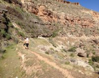
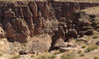
The trail very quickly drops from the rim to the valley
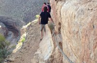
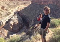
and from above we spotted a surprise the canyon slots up just off the trail. Besides the Narrows I dont know if the walls of the Virgin River Canyon are closer in any other spot.
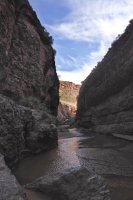
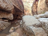

While this section of the canyon was short it was pretty awesome. After about 1/3 a mile we were forced to turn around by the Virgin River Diversion Dam.
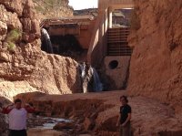
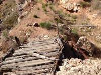
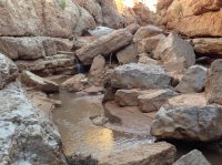
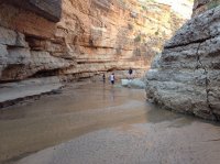
After exploring the Diversion Dam slot, we started the actual trail.
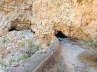
The canal trail mostly is a single track trail along the historic canal. There are a few parts where the trail forces you to walk in the canal and because of some land slides a few parts were you have to scramble above or below the canal. Also along the canal trail there are historic CCC relics, an old flume, and even several tunnels that require a flashlight.
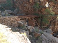
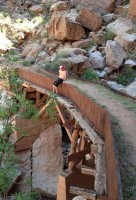
The Historic China Town Flume
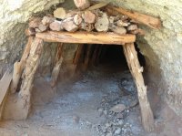
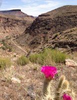
Eventually my brothers realized that I underestimate pretty much every trail I hike and were getting a bit crabby because they knew we had 3+ miles to get back to our car and it was getting hot. I ran ahead and realized we were freaking close to Pah Tempe and the bridge between Hurricane and LaVerkin. I had two of my brothers cross the river and walk along the WCWCD pipeline (they have a right of way and as long as you stay near the pipeline legally you can walk through the private property) My other brother and climbed out of the canyon using the connector trail to the Hurricane Rim Trail and ran back to the car 3 miles away.
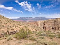
(you can see the canal entering a tunnel)
Featured image for home page:
