- Joined
- Dec 2, 2019
- Messages
- 137
This hike didn't turn out quite as planned, but was still a fun 3-day (and a bit !) walk through some stunning south-west scenery.
It had been a few years since I had visited Yellow Rock in southern Utah as a dayhike. This magnificent slickrock area is undoubtedly one of the most photogenic features in the entire region, and I was keen to revisit it but, this time, as part of a backpacking adventure.
----------------------
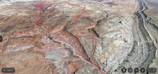
I set off from the 'Paria Box' trailhead, just off the Cottonwood Canyon Road. This good dirt road leaves Highway 89 (linking Kanab and Page) and runs north for 46 miles, passing Grosvenor Arch and Kodachrome Basin State Park, before joining Highway 12 at Cannonville, 12 miles east of Bryce Canyon.
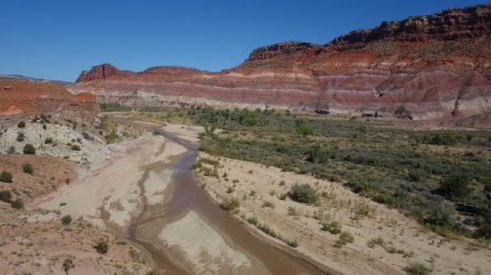
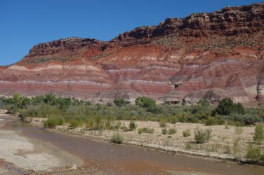
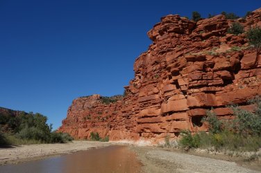
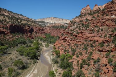
The first day's hiking was very straightforward and effectively involved following the course of the Paria River northwards. The river level was rarely above ankle-deep, and made for some very pleasant walking on a hot afternoon. For the first time, I had brought some Crocs with me for walking through the water, and these worked out really well, especially as they are so light to carry, when I changed into my hiking boots later. In places, the river coarse can get rather muddy, but this was just a minor inconvenience. This area is especially scenic due to the glorious multi-colored clay layers that comprise the surrounding hills.
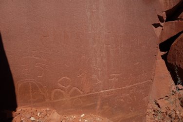
Although, the Paria River runs freely in this area, it is not a great idea to use its water for drinking, due to the heavy presence of cattle in the upstream section, and also the regularly silty nature of the river water. There are several side-canyons from which it is probably preferable to source good drinking water. I set up camp for the night across the river from a very good spring which was easy to access. When returning to my tent, I noticed some basic ground ruins of what could possibly have been a pueblo structure at the mouth of this small side-canyon. Close by, there are also some petroglyphs and a few pioneer 'signatures' on the cliff walls.
------------------
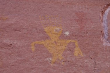
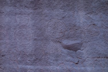
Before heading off properly on Day 2, I spent a pleasant hour or so exploring Deer Creek Canyon, which was a little ways north of my camp. Unfortunately the drainage is choked by thick tamarisk, and it was quite difficult to proceed up-canyon after the first mile or so. With a bit of determination (or a chainsaw !) it would be possible to travel further, but I was keen to be on my way, in the opposite direction. Close to the canyon I found some very interesting old-looking petroglyphs (i.e. the patina on the rock has started to re-cover the initial carvings).
I needed to revisit the local spring before I could start hiking, since I would need to carry water for the next 2 days. There was the possibility of finding water-filled pot-holes across the sandstone desert of the upper plateau, but there was unfortunately no guarantee, so it would be necessary to carry quite a load of water with me.
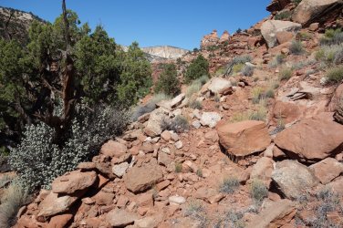
From the Paria River, I knew that there was an old CCC (Civilian Conservation Corps) trail that had been constructed in the 1930s, that led 500 feet upwards from the drainage onto a higher plateau. I found the start of the trail, 100 yards or so up a side canyon, without too much difficulty, and it seemed to head up through the first couple of cliff bands quite easily. Then it just seemed to stop, and I couldn't find any obvious path to follow. I clambered up and down, left and right, up and down, left and right, for well over an hour and I just couldn't pick out this old route at all. It was all very confusing. Whilst on a higher bench, I eventually rounded the corner back to the main Paria River drainage and spotted a constructed trail a little further along. What a relief ! It was then very easy to follow this well-made route up to the higher levels. I'm not exactly sure where I went wrong in following the lower part of this trail, but at least I was on my way again.
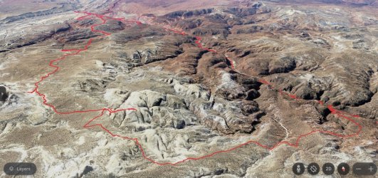
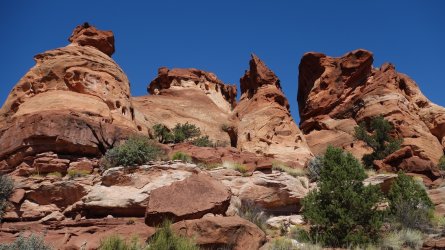
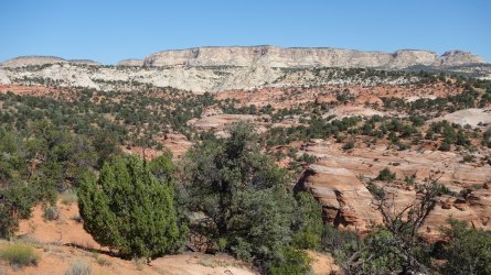
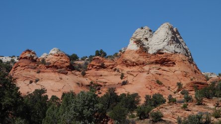
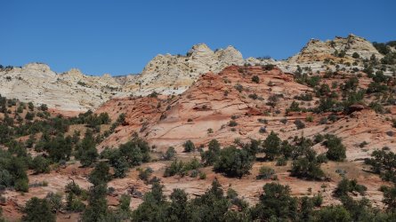
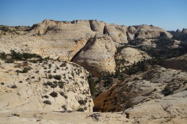
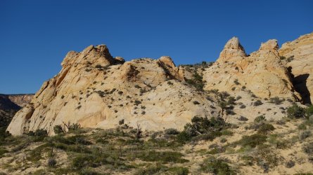
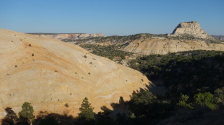
Once up on the plateau, the views of the surrounding colorful slickrock environment open up wonderfully. There are so many individual sandstone features visible from here, one could spend days exploring the surrounds. The obvious issue, however, is the lack of water availability across the high plateau. Since I was on quite a tight schedule over the next couple of days, and had only a finite amount of water, it wasn't really feasible for me unfortunately, to wander aimlessly for a few hours in this area, as I would have liked. Although a little frustrating, I could content myself with some glorious views while continuing with my hike
I hadn't really made as much progress as I had hoped for the day, mainly due to my early morning hike into Deer Creek Canyon, and my time-consuming exit from the river on the CCC trail. In addition, most of the hiking had been uphill through a sandy pinyon and juniper (P&J) forest, with a large amount of cryptobiotic soil to avoid. It had been an long and tiring day, but thoroughly enjoyable never the less.
Jamal Green (@Jammer) has, unsurprisingly
------------------
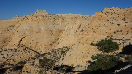
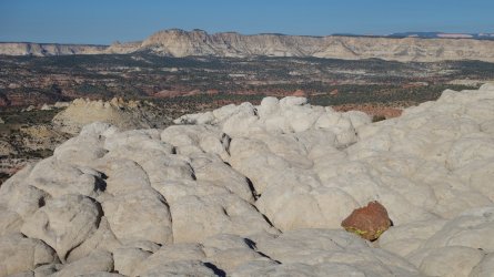
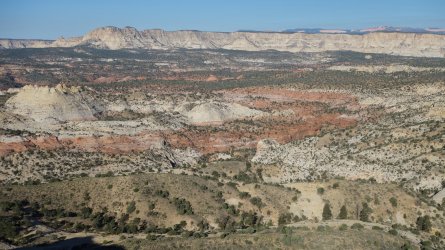
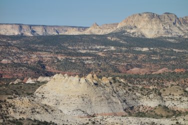
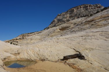
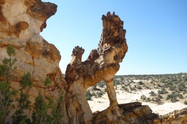
Day 3 was intended to be my final hiking day, and based on the remaining mileage, I was confident that I'd get back to the Paria Box trailhead by early evening. I decided to start the day by hiking up to the top of a huge sandstone dome, and I was rewarded with some incredible sweeping vistas across the surrounding region, including a great view of the White Cliffs and the pink and orange cliffs of Bryce Canyon. A fantastic start to the day. I then headed down towards another huge slickrock area; this time to visit the Stone Donkey Arch, which certainly didn't disappoint. It is a really memorable feature. As I crossed over the drainage to reach this arch, I noticed a couple of water-filled pot-holes, which took me by surprise. This was the only water I would see on the entire hike, apart from the Paria River drainage. It was nice to gather some bonus water to supplement my supplies.
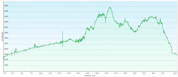
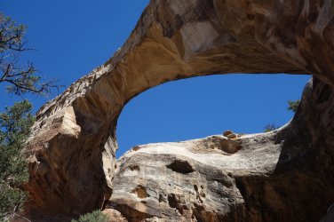
Visiting these 2 great sandstone features had really put a spring in my step, and I felt full of energy again. I took a short diversion to visit the Sam Pollock Arch, which was very picturesque. I was half way through the day, and on target to complete my hike in 5 or 6 hours. However, the next 3 hours were spent trudging constantly uphill through the same sandy P&J environment as the previous day, with even more crypto to avoid. My energy was utterly zapped, and the going was pretty tough. Time was also getting a bit tight, so I realised that I wouldn't be able to make it to Yellow Rock, as I had hoped. I finally made it to the top of the ridge, and now only had to skip down the hill to join an established use-trail that leads back down to the Paria River.
Oh dear, I've really messed up !
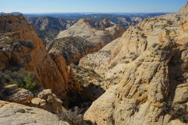
Unfortunately, there was, in fact, no hill to skip down. I was faced with a series of huge sandstone fins, lined up in parallel, blocking my way. How could I have been so stupid to not notice this feature when I was planning the route ? A real schoolboy error, without a doubt. I was furious with myself, and did exactly the wrong thing in such an emotional situation: I decided to try to find a way through the rocky barrier, and somehow start heading downhill. After several false-starts, over the next hour, I finally found myself heading along an ever-narrowing ledge, in ever-fading light, praying that I would luck upon some escape route from this higher area. Madness !
Finally I saw sense and headed back up to safer ground, just after the sun had set. All this additional frustrated walking, combined with my already tired body, meant that I was utterly exhausted as I set up my tent in the dark. This was night number 3 of the hike, which was definitely not part of the original plan. Thankfully, I had plenty of water and spare food, so I had a very satisfying dinner, and was asleep within minutes.
------------------
So, Day 4 ! I was, of course, still in the situation that I was a bit stuck, and confused about how to continue; but at least now, I was feeling fresher, and it was daylight. I slowly wound my way around the edges of a couple of fins, and patiently worked my way out of this tricky area, and back to some (very welcome !) P&J forest. After crossing a couple of steep gulleys, I luckily found a well-worn path, and was able to walk quickly downhill to reach the river and finally return to my car by mid-morning.
----------------------
This didn't quite turn out to be the hike I intended but, and it was a real shame to miss out on Yellow Rock as the scenic climax. But, despite my trivial complaints, I still had a really enjoyable time walking through this beautiful area. This is definitely somewhere that I'd love to return to, to explore the incredible slickrock some more, although I'd probably need to have a good plan for accessing water, in order to spend time here.
.
.
.
.
.
.
.
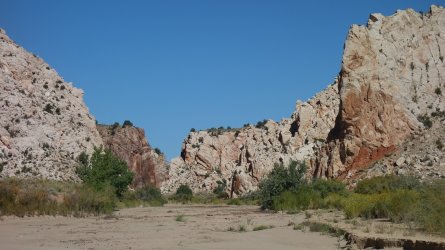
Starting from the Paria Box trailhead
.
.
Paria River
.
.
Colorful clay hills
.
.
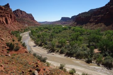
Paria River looking south
.
.
Pioneer signature and petroglyphs
.
.
.
.
.
.
Old petroglyphs
.
.
Paria River looking north
.
.
CCC trail
.
.
Emerging from the canyon onto the plateau
.
.
The road ahead across the plateau
.
.
Stunning sandstone features
.
.
.
.
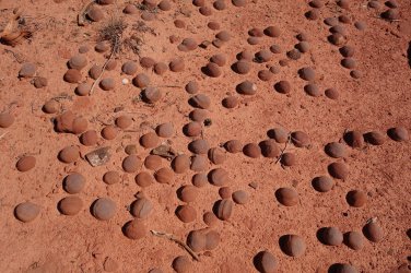
Moqui marbles
.
.
.
.
.
.
.
.
V
Scaling a high sandstone dome
.
.
.
.
White Cliffs and pink cliffs of Bryce in the far distance
.
.
.
.
Complex topography down below the high ridges
.
.
Lovely water !
.
.
Stone Donkey Arch
.
.
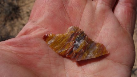
Colorful flaked stone
.
.
Sam Pollock Arch
.
.
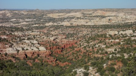
Looking east towards the Wahweap Wilderness
.
.
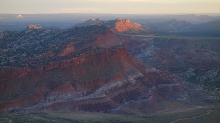
Paria River valley looking south towards Buckskin Gulch and the Vermilion Cliffs
.
.
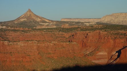
Looking west towards Mollie's Nipple
.
.
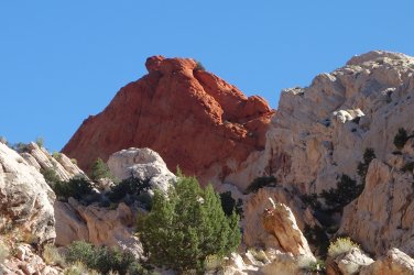
Red Top
