HomerJ
Member
- Joined
- Jan 19, 2012
- Messages
- 1,199
7-05-2008
A buddy and I decided to hike the Wellsvilles over the July 4th weekend. We chose to hike the Stewart Pass/Cold Water trail. This would be my first time hiking this trail. The trail is about 3 miles and climbs 2500'.
I met my friend at his house in Hyrum around 6am where we jumped in his truck and headed off. The road tot he trail head is quite rough and it seemed to take forever... We finally made it to the trail head and started hiking.
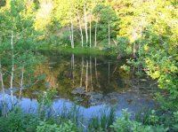
The trail climbs gradually for the first .75 mile to Cold Water lake. It's more of a puddle than a lake.
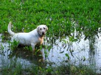
Max loves water and as soon as he saw the lake he ran and jumped in!
About .25 mile after the lake (1 mile from TH) the trail start to really climb!
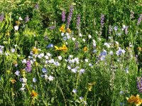
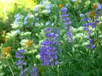
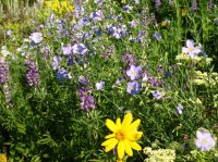
We soon ran into wild flowers. They were everywhere!
A lot of the trail goes through thick tall brush. We spooked up some deer and as they ran off I was jealous at how easy they traversed the mountain side... Damn deer.
About mid way up the trail enters a more forested area with pines. We stopped here and took a break and ate some snacks.
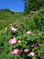
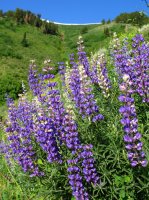
We started to get some views of the ridge line and the wild flowers were great.
We made it to the top! (that's Max's water bowl dangling off of my friends pack).
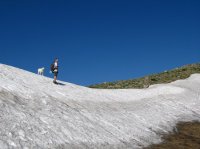
We rested and took in the views and ate our lunch on the ridge. After a few minutes we headed south along the ridge towards the Wellsville Cone. There were wild flowers all over!
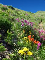
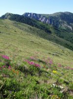
We hiked along the ridge towards the Wellsville Cone. We had gone about 1 mile and decided we didn't have the time (or water) to hit the Cone and be back down in time for things we had planned later that day. So we turner around and headed back to Stewart Pass.
The low spot along the ridge with the snow is Stewart Pass. The highest peak in the photo is Mendon Peak.
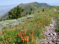
On the way down we could tell Max's paws where hurting him from all the hiking. He would keep laying down on the trail to rest his paws. We took it easy heading down and eventually made it to the truck.
Featured image for slideshow:
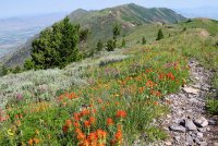
A buddy and I decided to hike the Wellsvilles over the July 4th weekend. We chose to hike the Stewart Pass/Cold Water trail. This would be my first time hiking this trail. The trail is about 3 miles and climbs 2500'.
I met my friend at his house in Hyrum around 6am where we jumped in his truck and headed off. The road tot he trail head is quite rough and it seemed to take forever... We finally made it to the trail head and started hiking.
The trail climbs gradually for the first .75 mile to Cold Water lake. It's more of a puddle than a lake.

Max loves water and as soon as he saw the lake he ran and jumped in!

About .25 mile after the lake (1 mile from TH) the trail start to really climb!
We soon ran into wild flowers. They were everywhere!


A lot of the trail goes through thick tall brush. We spooked up some deer and as they ran off I was jealous at how easy they traversed the mountain side... Damn deer.
About mid way up the trail enters a more forested area with pines. We stopped here and took a break and ate some snacks.
We started to get some views of the ridge line and the wild flowers were great.


We made it to the top! (that's Max's water bowl dangling off of my friends pack).

We rested and took in the views and ate our lunch on the ridge. After a few minutes we headed south along the ridge towards the Wellsville Cone. There were wild flowers all over!


We hiked along the ridge towards the Wellsville Cone. We had gone about 1 mile and decided we didn't have the time (or water) to hit the Cone and be back down in time for things we had planned later that day. So we turner around and headed back to Stewart Pass.
The low spot along the ridge with the snow is Stewart Pass. The highest peak in the photo is Mendon Peak.

On the way down we could tell Max's paws where hurting him from all the hiking. He would keep laying down on the trail to rest his paws. We took it easy heading down and eventually made it to the truck.
Featured image for slideshow:

